Roadsoft can be used with a number of other programs and applications. For example, Roadsoft can import layers such as hydrography, wetlands, aerials, and other GIS-based features.
Roadsoft also integrates with Bing Maps, Google Maps, and Google Earth, which can be used to view selected data in detailed panoramic views.
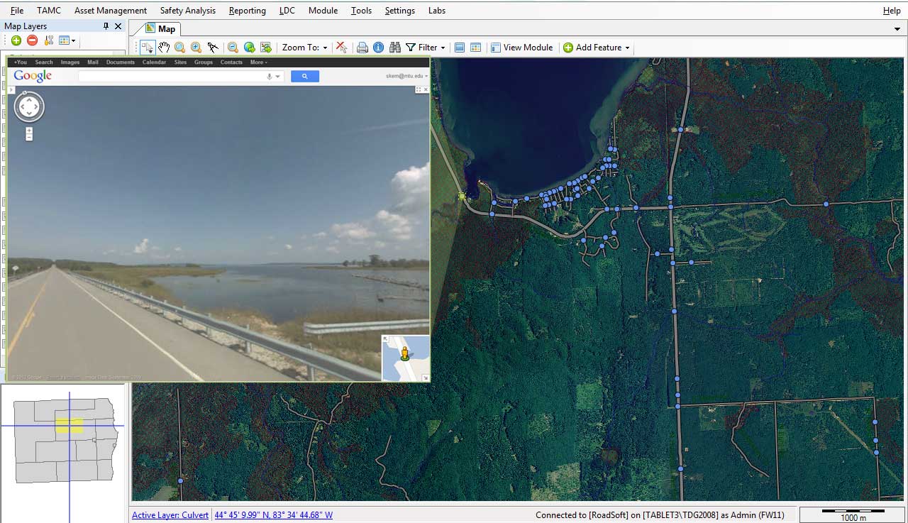
Google Maps displaying a bridge selected in Roadsoft
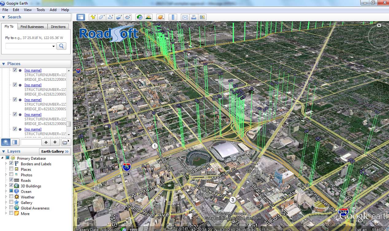
Google Earth displaying data from Roadsoft